SASKATOON — Well, that was quick.
Climatologists are already waving goodbye to El Niño and hello to yet another possible La Niña event.
The U.S. National Oceanic and Atmospheric Administration says ENSO-neutral conditions are now present, a phenomenon known in meteorological circles as La Nada.
That is a period when world weather patterns are not influenced by either El Niño or La Niña.
However, NOAA believes there is a 65 per cent chance that a La Niña will develop during the July-September period and persist into the Northern Hemisphere winter of 2024-25.
Those odds jump to around 75 per cent if the start date is pushed back to the August-October period.
Commodity Weather Group meteorologist Joel Widenor said the European model isn’t as confident about a La Niña developing this year.
The 2023-24 El Niño was strong but short-lived. It came on the heels of three consecutive moderate to weak La Niña years.
So, what would yet another La Niña mean for global crop production?
The answer is not much for growers in the Northern Hemisphere.
“It all will happen too late to have any impact on this growing season up here,” said Widenor.
MarketsFarm analyst Bruce Burnett agreed it’s all about the Southern Hemisphere crops.
“It should be good news for the Australians because they tend to get moisture during La Niña events,” he said.
Australia is one of Canada’s top competitors in various grain markets around the world.
The country’s winter crop is off to a good start. The government is predicting 51.3 million tonnes of production in 2024-25, which would be the fifth highest on record.
The Australian Bureau of Meteorology is forecasting above average rainfall for large areas of eastern and central Australia during the August to October period.
Rainfall will be within the typical seasonal range for far northern and far southeastern parts of the country and for much of Western Australia.
The only area where it is expected to be below average is in portions of the northwest.
Widenor said a well-established La Niña can result in too much rain falling on eastern Australia.
“They can run into some flooding issues that can be pretty substantial,” he said.
That can lead to quality damage for crops in the east.
Argentina tends to experience the exact opposite conditions, with excessive dryness hurting its corn and soybean crop potential like it has during recent La Niña events.
Growers in that country would be far better off if the looming La Niña doesn’t fully materialize.
Burnett said a full-blown event would be a “definite concern” for the country’s wheat growers. Some of them have already abandoned their wheat crops due to a lack of moisture.
Argentina’s dryness can seep north into southern Brazil during strong La Niña years, although the correlation is not as clear cut as it is with Argentina, said Widenor.
Burnett said the dryness would likely be too late to cause much harm to Mato Grosso’s soybean crops, but it could have an impact on the state’s corn crop.
La Niña can help India with its monsoon rainfall, but this year’s monsoon season is already in full swing, so it is doubtful it will develop in time to have much impact on that event.
Burnett said La Niña does not typically have much influence on North America’s summer.
If anything, it is supposed to deliver more moisture to the northern Plains region. However, that has not been the case with the last few events, so he doesn’t put much faith in that correlation.
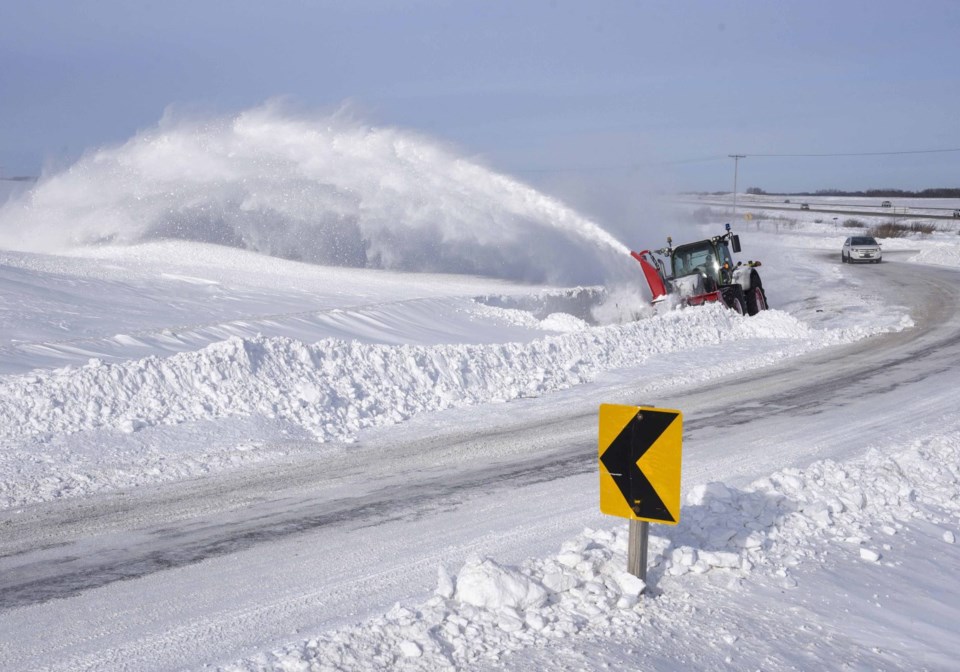
However, it can have a significant impact on winter weather. Farmers in Western Canada might want to brace themselves for large amounts of snow, blizzards and cold temperatures, he said.


