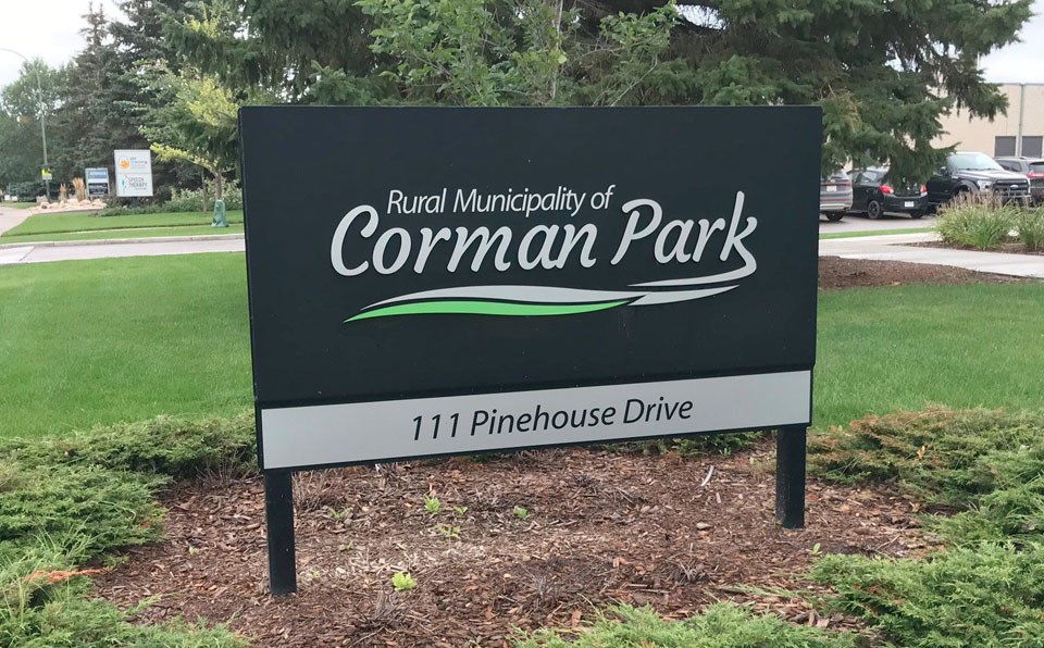
SASKATOON — RM of Corman Park councillors passed two motions during their March 25 meeting to provide $5,000 in seed funding to the Opimihaw Creek Watershed Association (OWCA) and to direct administration to support the group’s LIDAR project, which could eventually net the municipality access to $250,000 worth of geographic data.
In 2012, the province announced the official formation of the OWCA, which was made up of representatives from the RM, Warman and Martensville, and the towns of Dalmeny and Osler.
The purpose of the organization was to address the many instances of localized flooding in the area, with the province providing a $1 million grant to the OWCA in order to create a master drainage plan for the area.
Unfortunately, the overall project stalled due to several successive years of low rainfall and a meager snowpack, eliminating the need for drainage.
However, the OWCA has now resumed operations, holding an initial meeting on Jan. 23 in the RM council chambers and a second meeting on Feb. 28 in Osler.
Although the Town of Dalmeny has chosen to withdraw from the OWCA, the association is pursuing additional members, including the City of Saskatoon, Meewasin, Wanuskewin and two other members at large.
For now, the OWCA has requested $5,000 in seed money from each of its partners to assist with starting up.
As reported previously by the Clark’s Crossing Gazette, Martensville city councilors decided at their February 11 committee of the whole meeting to stay involved in the OWCA, but to hold off on any financial contribution until a long-term direction for the association is in place.
It remains unclear if any other member is committing the $5,000, but RM administration supported doing so on the basis that it could bring in $250,000 of Lidar information that the province is working on providing to the region.
LiDAR, which stands for Light Detecting and Ranging, is a remote sensing method that uses a pulsed laser to generate precise 3D information about the shape of the Earth and its surface characteristics.
“The work will be extremely valuable to not only the Opimihaw Creek Watershed, but for any future highway projects, roads and any new developments within the RM,” wrote chief administrative officer Kerri Hilts.
The OWCA was also asking each member to permit its engineers and administration to work collaboratively with the Green Network project.
According to the City of Saskatoon’s website, the Green Network “provides people and wildlife with access to continuous, high quality green spaces and natural areas. It includes features such as parks, trees, gardens, wetlands and naturalized areas.”
It was not clear how much staff time would be needed, and again, administration was not aware if other members had agreed to this request. However, if the OWCA is successful in creating a well-organized and co-ordinated drainage plan, that could potentially save the municipality money in the future.
Division 5 councillor Arthur Pruim, who was appointed to the OWCA along with Division 6 councillor Steven Balzer, expressed the importance of the RM’s involvement, not only in terms of access to valuable mapping data, but also the province’s support for this project.
“All I can is assure you is that the province is coming with a fairly firm hand saying, ‘We want this done, because we know that water is an issue in this area. And for future growth, if we don’t take care of the water issue, they may stop what could be some of the growth in some of these areas,” Pruim said.


