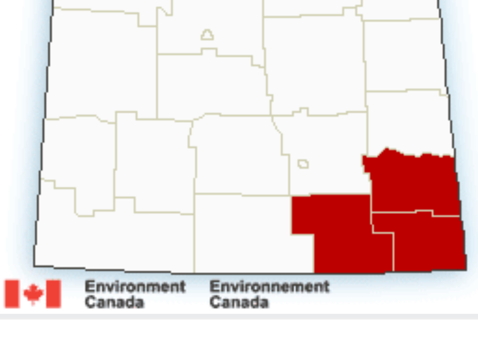
REGINA ‑ Preparations are underway for a major winter storm that is expected to hit southeast Saskatchewan over the next couple of days.
In a media briefing Tuesday afternoon, Marlo Prichard of the Saskatchewan Public Safety Agency said a severe storm system is expected to bring blizzard conditions with significant and heavy snowfalls and high winds to Southeast Saskatchewan starting as early as 8 p.m. Tuesday.
To help residents prepare, Prichard reminded residents that SaskAlert is the Government of Saskatchewan’s public alerting program and provides critical information on emergencies in real time.
He said emergency alerts will include details on what the emergency is, where the emergency is happening, and provide instructions and advise when the incident is over. The app is free to download, and can be personalized by users to determine what alerts they can receive.
In addition to downloading the SaskAlert app, people are urged to have their 72-hour preparedness kits ready. Pritchard says residents are asked to prepare and to sustain themselves for up to 72 hours, in the event the power fails.
Those with a generators, Pritchard said, should ensure the units are in safe, working order. Residents in rural areas may wish to string a safety line between houses and outbuildings, in case they have to go out during a storm and visibility is significantly reduced.
When the storm hits, it is recommended to stay indoors and to dress for the weather if going out is necessary. Those who must travel are advised to do so during the day and let someone know routes and arrival times. But if there are blizzard conditions, travel is not recommended and people are urged to stay home.
Downed power lines should not be approached and reported to SaskPower, Pritchard advises.
In anticipation of the storm, Pritchard says the Saskatchewan Public Safety Agency has pre-positioned equipment and personnel in the Regina area to respond to situations as needed. Visit saskpublicsafety.ca or beprepared.com for more information on how to prepare.
Dagenais, senior meteorologist with SPSA, said 30 to 50 centimetres of snow accumulation are expected for the Estevan area and 30 to 40 centimetres for the Weyburn area. Moving north it is expected to decrease with 10 to 25 centimetres expected in the Yorkton area. The totals would be from Tuesday until Friday.
The storm started yesterday in Colorado and has moved into Montana which is already reporting 10 centimetres of snow. Another 30 centimetres is expected in Montana over the next 48 hours.
Dagenais described the weather event as a “once-in-every-30-years” storm. According to the province, the last time a similar spring event occurred over southeastern Saskatchewan was May 11, 2004, when Estevan reported 25 centimetres of snow in 24 hours.
Regarding power outages, Joel Cherry of SaskPower said they have already begun preparations for the storm with crews and materials ready to deploy. “We want to see how the storm plays out and where the heaviest impacts are," he said.
He noted they had responded to another major storm in the past week but they do have crews ready.
In terms of highways impact, Pritchard said it was "too early to say what and where the situation will deteriorate the most." He encourages people to check with Highway Hotline for the current highway conditions.


